DEER DRONE RECOVERY
STRESS-FREE DRONE RECOVERY!
DEER DRONE RECOVERY
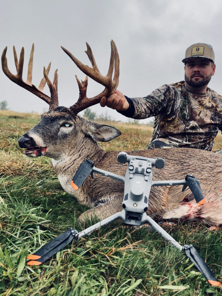
When Blood Trails Vanish or Deer Dive into Thick Cover, our Thermal-Equipped Drones silently Scan Vast Areas Day or Night-No Scent, No Added Pressure, No Bumping Deer!
How it Works:
📞 1. Contact Us:
Call or text (740) 277-8858, or submit the request form to get started.
📋 2. We Review Your Info:
We analyze shot placement, terrain, and access to build your custom recovery plan.
🚁 3. Launch & Scan:
Our FAA-certified pilot arrives and deploys the drone to begin the thermal search.
📍 4. Deer Located:
If a heat signature is found, we send live GPS coordinates for recovery.
🦌 5. If Alive:
– We discreetly mark the spot
– Return the next day (If Needed) & Help with Tracking & Dragging
DEER HERD ANALYSIS
Want to Know what Deer Survived the Season? We offer Off-Season Thermal Scans to assess your hunting properties Deer Herd, population, and Buck Bedding Areas!
- Aerial thermal flights
- Heat signature identification (even in standing corn)
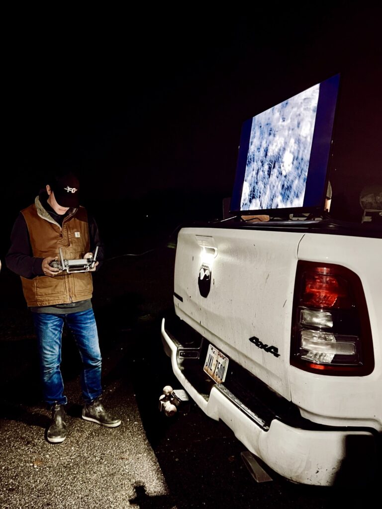
- Live viewing monitor
- Optional seasonal follow-up packages

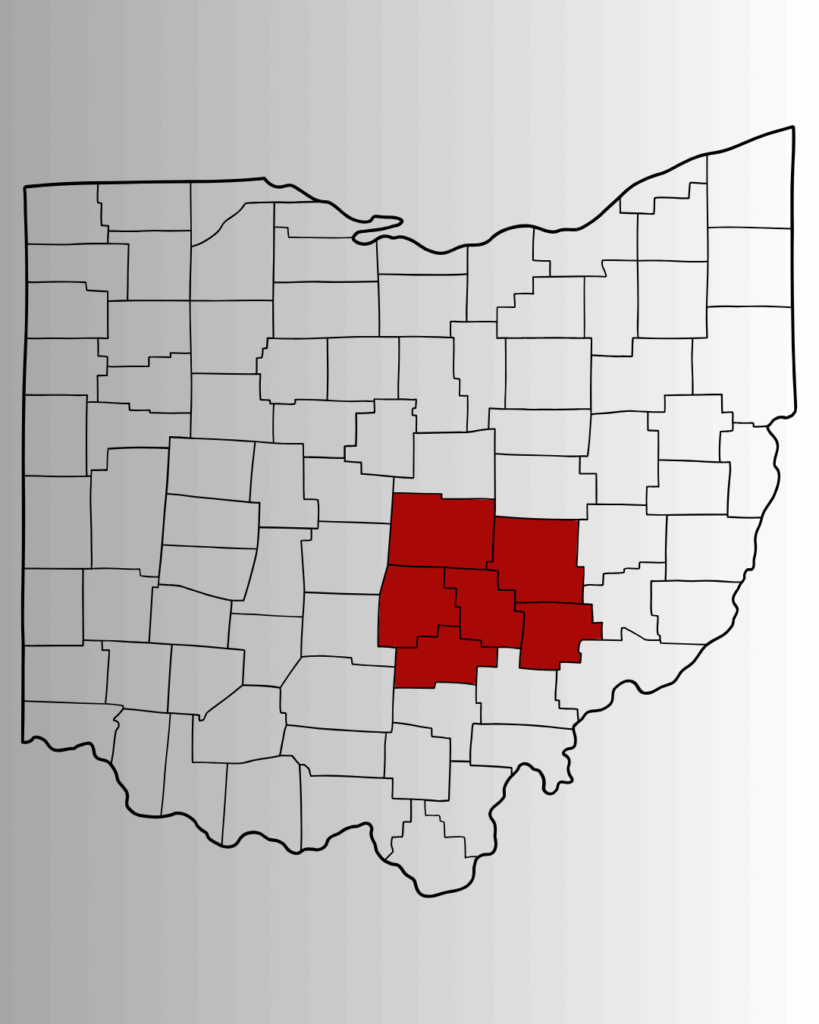
OUR SERVICE AREA
We Currently Serve:
- Perry County
- Morgan County
- Fairfield County
- Muskingum County
- Licking County
- Hocking County
We will travel beyond these counties for a small mileage fee of $2/mile after 20 miles from Rushville, OH
SIMPLE PRICING
Full 2-HR Search
20-Mile Driving Radius
Thermal Scan Report
Thermal Scan Report
Search Video Footage
GPS-Map of Searched Area
Pilot Notes
Next Day Return Search (If Needed)
Track & Drag Recovery
25% Refund if Deer is Not Located
DEER DRONE RECOVERY – REQUEST
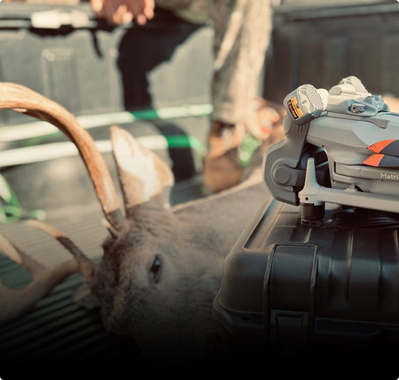
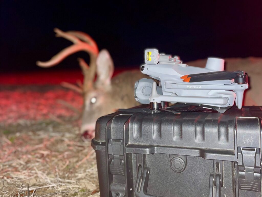
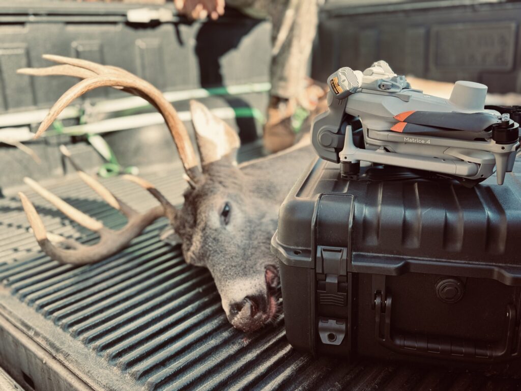
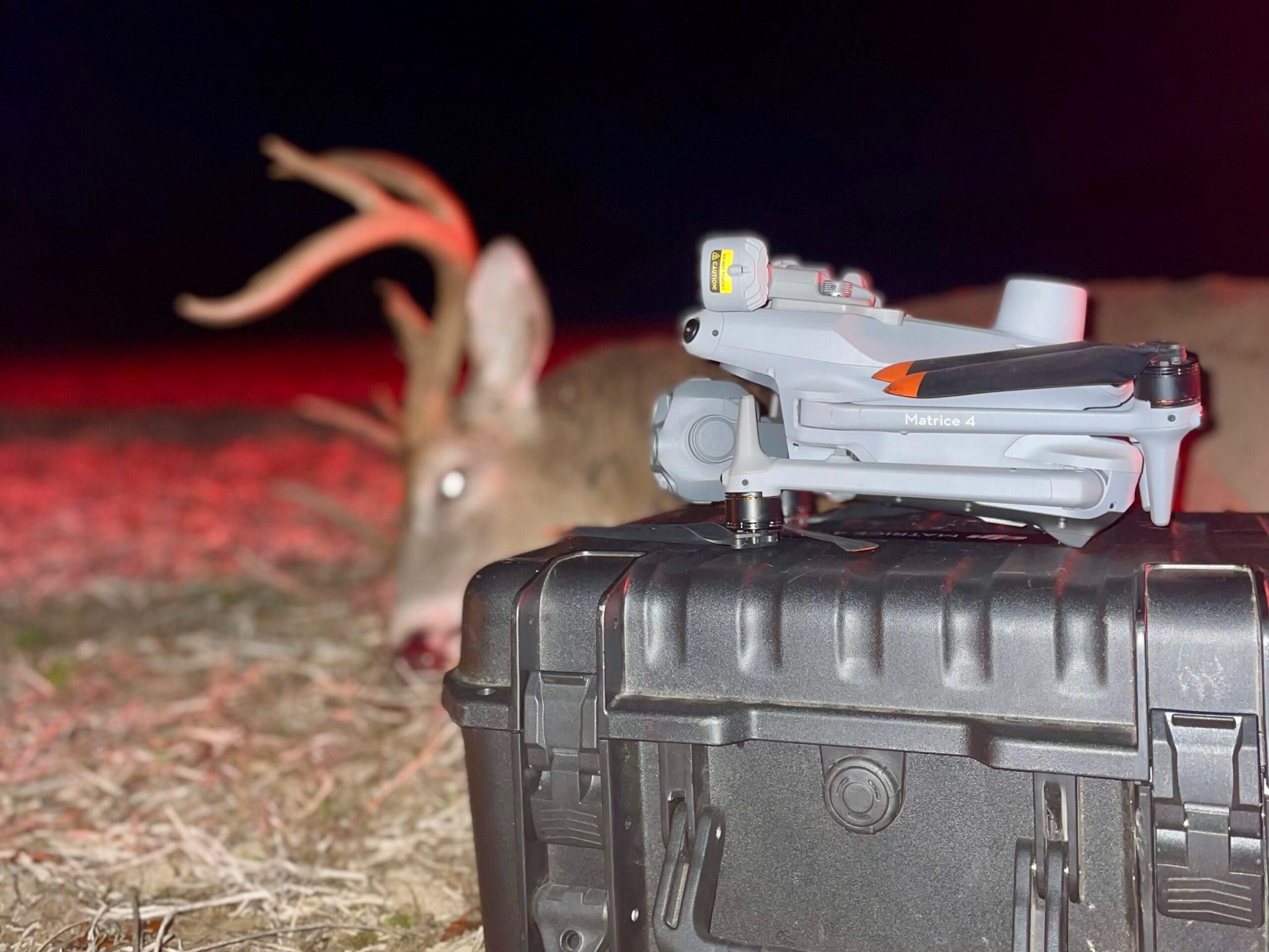
DJI MATRICE 4T THERMAL DRONE
OUR EQUIPMENT
We don’t Cut Corners. Our Tools are the best in the industry!
DJI MATRICE 4T
Pro-Grade Recovery Drone
200X ZOOM
Detailed Visual Confirmations
Viewing Monitor
Watch the Search Unfold Real time
SPOTLIGHT
Ready for Night Recoveries
MEET OUR PILOTS
All pilots are FAA Part 107 Certified and trained in ethical drone recovery operations.
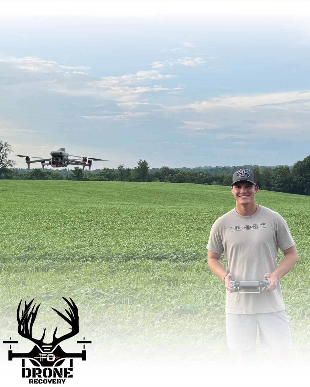
NOAH BARNETT

ETHAN FEATHEROFF
FEATHERNETT OUTDOORS
YOU DID YOUR JOB. LET US FINISH IT.
You made the shot. Now let us finish the job.
Whether it’s thick timber, vanished blood, or fading light—our drone team is ready to find what matters most.
Call Now to Launch a Search
Or Submit a Recovery Request in Seconds. Every minute counts. Let’s bring your buck home!
Frequently Asked Questions
From pricing to success rates, we’ll help you make a fast, stress-free decision when it matters most.
Your buck’s on the line—start here.
How effective is thermal drone deer recovery?
Our drone recovery system has an 85–95% success rate within the first 12 hours of a confirmed fatal shot. Success depends heavily on shot placement, terrain, and time since impact. The faster you contact us, the better your odds.
What’s the success rate over time?
| Time Since Shot | Expected Success Rate |
|---|---|
| 0–6 Hours (Fatal Hit) | 90–95% |
| 6–12 Hours | 85–90% |
| 12–24 Hours | 65–80% |
| 24–36 Hours | 50–65% |
What happens if you don’t find the deer?
If we conduct a full 2-hour search and find no heat signature or recovery, you’ll receive a 25% refund ($100) and a full package of:
– Thermal scan report
– GPS map of the area searched
– Search video footage
– Pilot notes and next-step recommendations
Can you find wounded deer that are still alive?
Yes — our thermal drones are excellent at detecting live heat signatures, but if the deer is mobile, it can be more difficult. We’ll mark the location, assess its condition, and offer a follow-up plan for ethical recovery.
How long does a drone recovery take?
Most recoveries take 30–90 minutes in the air, depending on the terrain and the last known deer movement. We cap flights at 2 hours per mission to ensure battery efficiency and fairness.
What drone equipment do you use?
We fly the DJI Matrice 4T—top-tier thermal drones with:
– 200x zoom
– High-resolution thermal imaging
– Real-time viewing monitor for you
– Night spotlights for low-light recovery
Do you recover deer at night?
Yes — thermal drones perform best at night due to cooler surroundings and stronger contrast. Night missions are often more effective than daytime searches.
Do I need landowner permission?
Yes. You must have permission for us to take off and land from private property. Drone overflight is legal, but we won’t operate without confirmed access.
How much does it cost?
- Flat Fee: $400 (includes up to 20 miles of travel)
- Additional travel: $2/Mile beyond 20 miles from Rushville, OH
- Full payment is due on arrival, before takeoff.
Still have more
questions?
We’re here to help you make the right call — fast.
Reach out anytime and speak directly with a certified drone recovery expert.
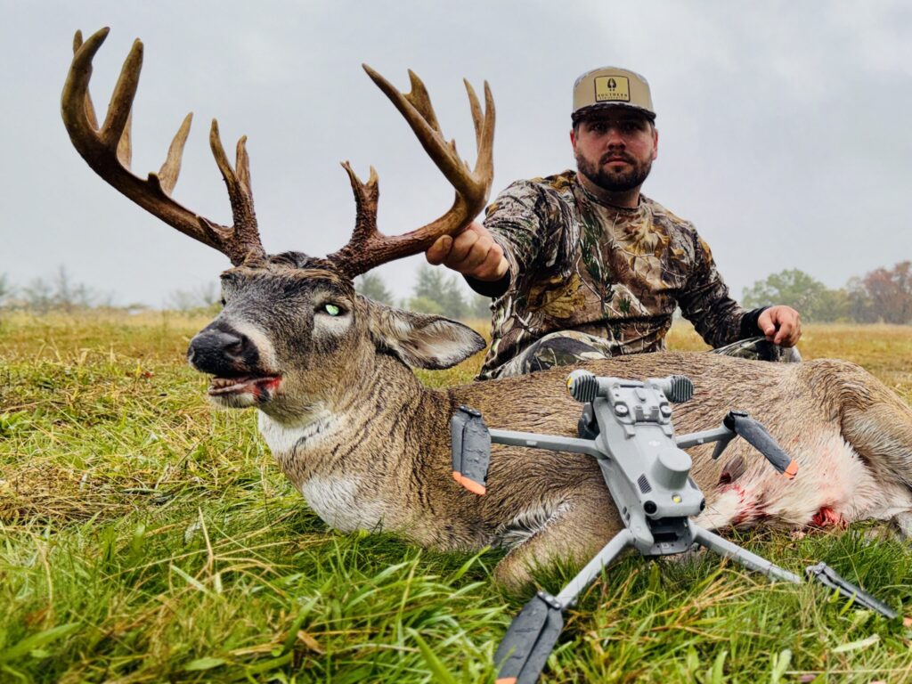
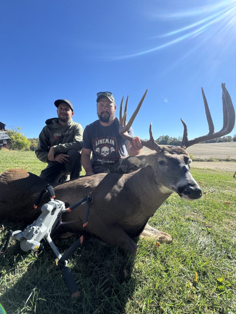
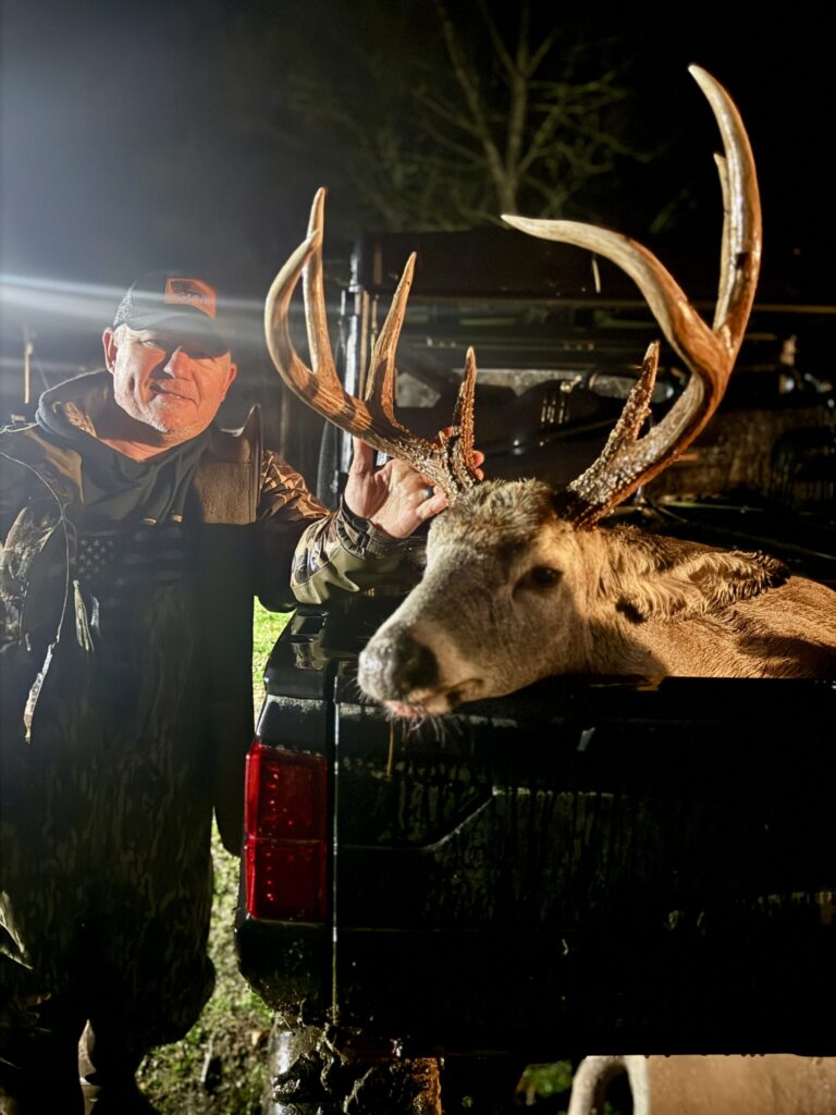
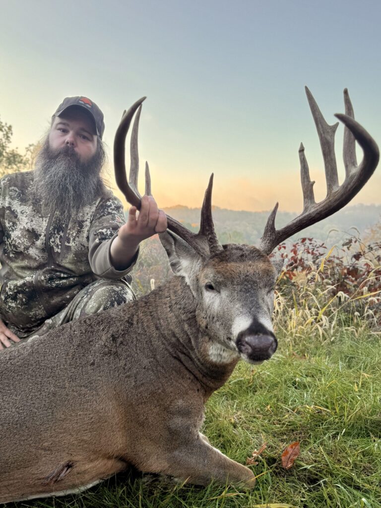
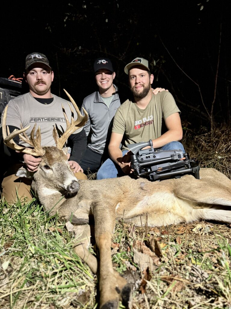
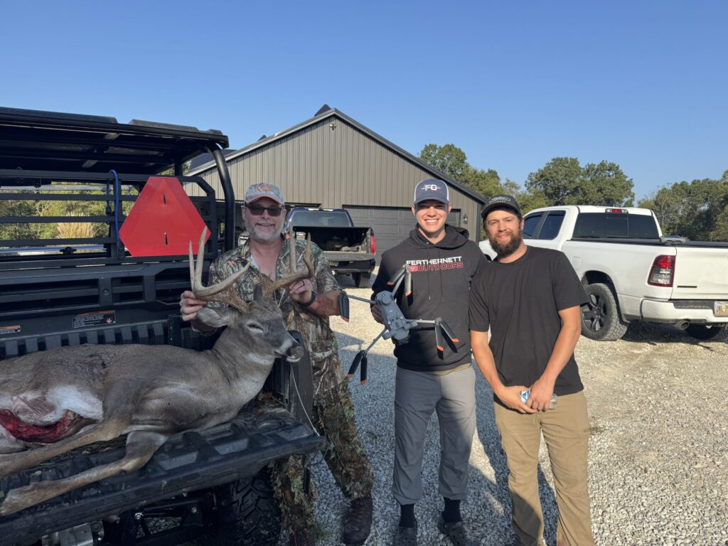
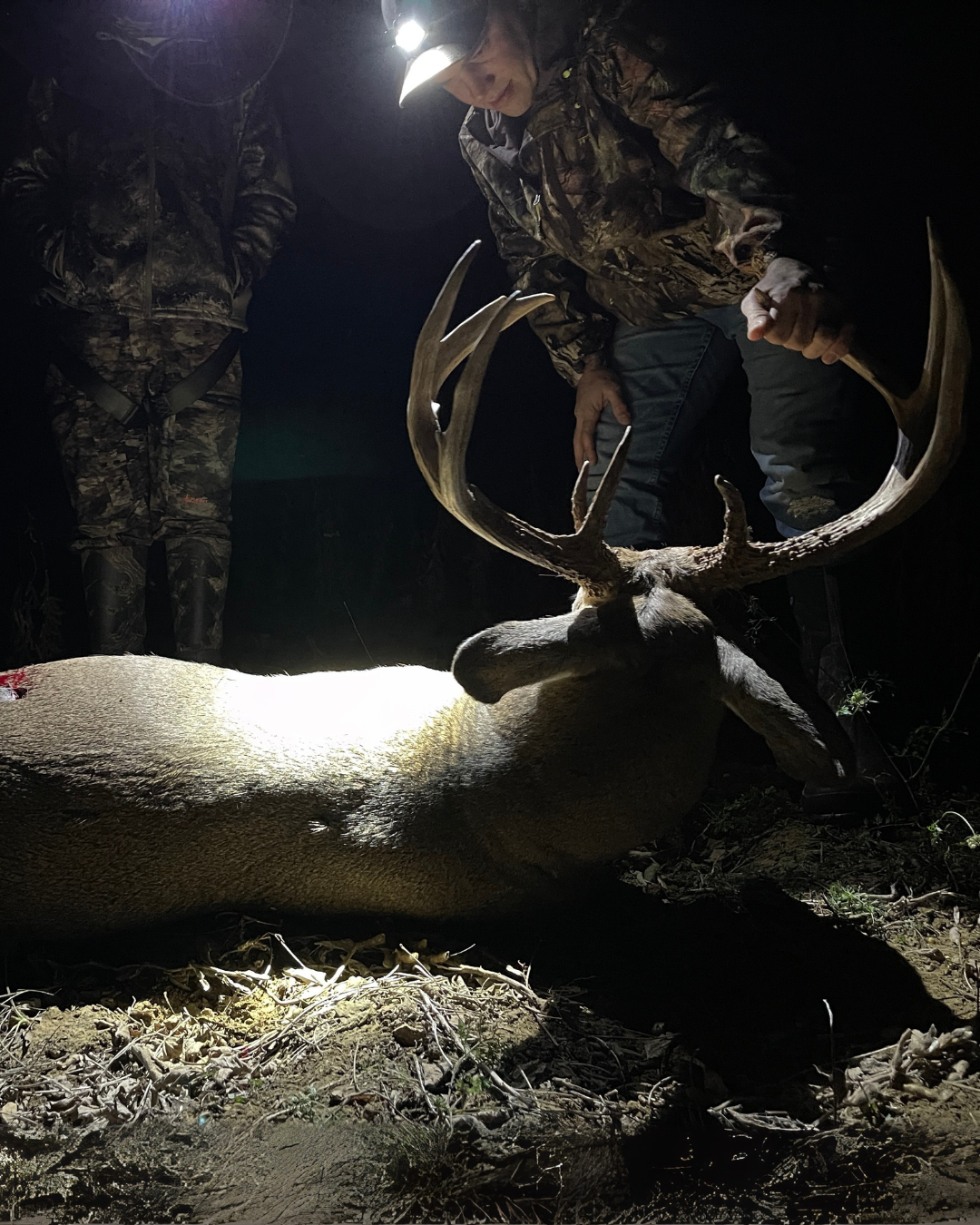
OUR RECOVERIES